Skip to content
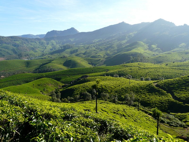
Munnar Tourist Places: 20 Best Places to Visit in Munnar, Tea Gardens, Itinerary & Hidden Gems (2026 Travel Guide)
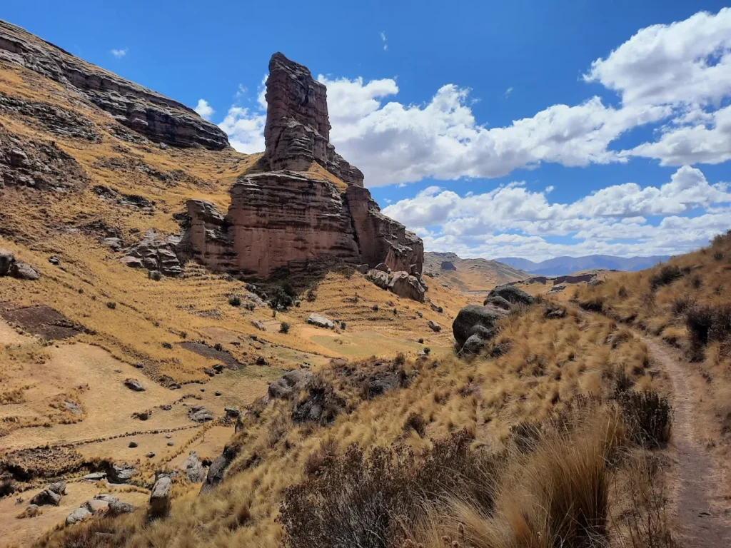
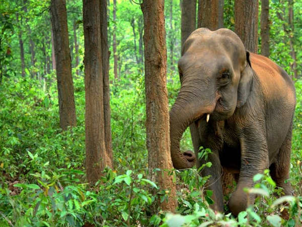
By Wahid Ali | Operations Lead, Astamb Holidays, Mumbai I’ve sent hundreds of travelers to Kerala over my 20 years in the tourism industry — and I can tell you this honestly: Munnar never stops surprising people. Every single client who visits comes back and says the same thing: “Wahid, I wasn’t prepared for how beautiful it really is.” Munnar tourist places range from rolling tea plantations that stretch for miles to misty viewpoints where clouds literally touch your feet. This hill station in Idukki district, Kerala, sits at 1,600 meters above sea level and welcomes over 1.2 million tourists every year — and for very good reason. In this guide, I’m covering 20 must-visit places in Munnar, hidden spots most tourists completely miss, a 3-day itinerary, the best time to visit, travel tips, and a complete FAQ section. Whether you’re a couple, a family, or a solo traveler, this is the only Munnar guide you’ll need for 2026. 🌿 Why Munnar Is One of the Most Beautiful Hill Stations in Kerala Munnar means “three rivers” in Malayalam — referring to the Muthirapuzha, Nallathanni, and Kundala rivers that meet here. The Western Ghats give Munnar its dramatic terrain, altitude range of 4,921 ft to 8,842 ft, and year-round cool climate that feels like a relief from India’s plains. What makes Munnar stand out even among Kerala’s many beautiful destinations? For me personally, nothing compares to that first morning drive into Munnar — misty hills, damp air, green everywhere. It resets you completely. 🗺️ Munnar Tourist Map 🌅 Best Sunrise & Sunset Spots in Munnar Spot Best For Timing Distance from Munnar Town Kolukkumalai Sunrise above clouds 5:00 AM – 6:30 AM ~40 km (Jeep needed) Top Station Sunset + valley views 5:00 PM – 6:30 PM ~32 km Lockhart Gap Morning mist views 6:00 AM – 8:00 AM ~12 km Pothamedu View Point Sunrise + plantations 5:30 AM – 7:00 AM ~3 km Kolukkumalai at sunrise is genuinely one of the most spectacular natural experiences I’ve arranged for clients. You’re literally above the clouds. It requires a jeep ride on a rough terrain road — not for the faint-hearted, but completely worth it. Top Station, at the highest motorable point in Munnar, gives you sweeping views of Tamil Nadu’s Theni Valley below. Sunset here turns the sky into shades of gold and red that no filter can replicate. 📸 Best Photography Locations in Munnar For photographers — amateur or professional — Munnar is paradise: Carry a wide-angle lens and ND filters — and always go early. Post-noon cloud cover closes in fast. 🍵 Tea Plantation Experience Guide in Munnar Munnar’s identity is inseparable from tea. Here’s how to get the most out of the experience: Experience What to Expect Best Places Tea Picking Walk with pickers, try plucking yourself Kolukkumalai, Lockhart Estate Factory Tours See full production cycle: wilting → oxidation → packaging Tata Tea Museum, Lockhart Factory Tea Tasting Sample Cardamom Tea, Green Tea, CTC varieties Tata Tea Museum café, local shops Estate Walks Guided walks through terraced gardens Rajamala, Pothamedu estates The Tata Tea Museum is particularly brilliant for first-timers. You’ll see century-old machinery still in working condition. Entry is nominal and well worth your time. Pro Tip from Wahid: Carry cash for tea and spice shopping. The small roadside estate shops have better prices and fresher stock than the main market stores. 🏔️ 20 Best Munnar Tourist Places You Must Visit 1. Eravikulam National Park This is non-negotiable on any Munnar trip. Spread across 97 sq. km in the Western Ghats, Eravikulam National Park was declared a national park in 1978 specifically to protect the Nilgiri Tahr. It’s home to half the world’s population of this rare mountain goat. Anamudi Peak — the highest point in South India at 2,695 meters — sits within the park. Book tickets in advance; entry counters open from 9:00 AM to 3:00 PM with a reservation fee of ₹50. 2. Tea Gardens of Munnar You can’t visit Munnar without walking through the tea gardens. These plantations were first started in 1880 and today cover thousands of acres across the hills. The most scenic stretches are along Rajamala Road and near Kolukkumalai. Early morning walks through the rows of tea bushes, with mist hanging low and the smell of fresh leaves in the air — there’s simply nothing like it. 3. Mattupetty Dam Located at 1,700 meters above sea level, Mattupetty Dam is a storage masonry dam surrounded by thick forest and hills. The boating options here — including speed boats — are very popular with families and couples. I always tell my clients: go early in the morning, and you may spot elephants near the water. The Indo-Swiss Livestock Project dairy farm is also located nearby. 4. Echo Point About 15 km from Munnar town, Echo Point is exactly what it sounds like — shout across the valley and hear your voice bounce back. It’s fun, it’s quick, and it’s great for families. The spot overlooks a lake surrounded by green hills. It can get crowded by mid-morning, so aim to be there by 7:30 AM for a peaceful experience. 5. Top Station At the highest motorable point in Munnar — about 32 km from town — Top Station sits at 1,700 meters and gives you a direct view into Tamil Nadu’s Theni Valley below. On a clear day, the views stretch for miles. This was historically the top station of a ropeway that transported tea. Today it’s one of the most iconic munnar sightseeing places. 6. Kundala Lake Just 20 km from Munnar, Kundala Lake sits beside a scenic dam and offers shikara (boat) rides that feel straight out of Kashmir. The lake is surrounded by hills and is quieter than most other spots. During certain months, cherry blossoms bloom nearby. It’s one of the best honeymoon places in Munnar and perfect for photographers. 7. Attukal Waterfalls Attukal Waterfalls drops through dense forest and rocky terrain, creating a thunderous