New Zealand Tour 2026: Ultimate Travel Guide, Itineraries, Costs & Tips
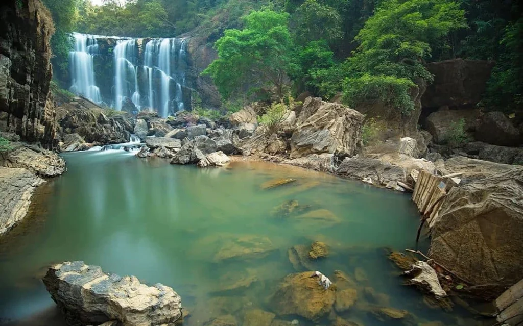
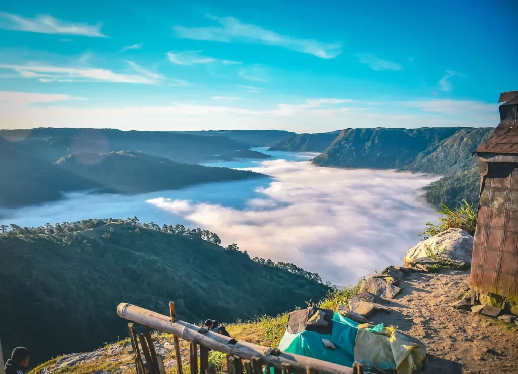
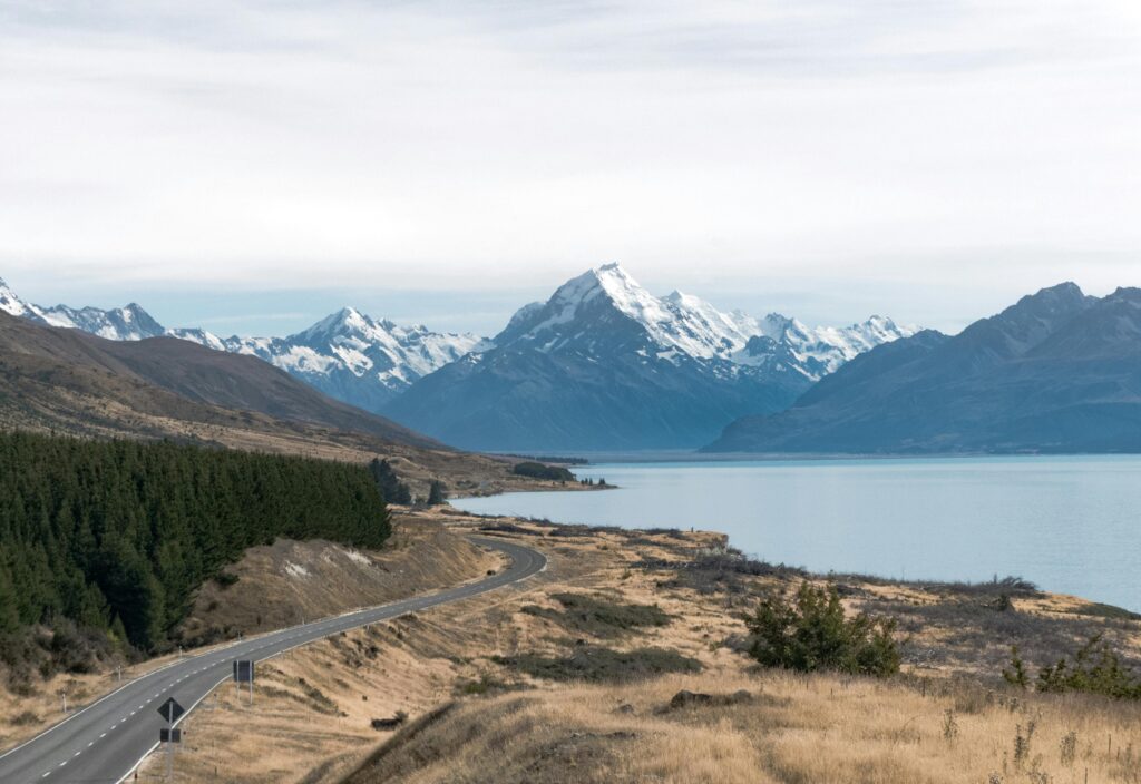
Picture this: glaciers descending into rainforests, golden beaches kissed by turquoise waters, geothermal pools bubbling beneath snow-capped peaks, and cultures so rich they’ve shaped landscapes for over a thousand years. Welcome to New Zealand – where every new zealand tour becomes a story you’ll tell for a lifetime. I’m Wahid Ali, and after 20 years of managing tours at Astamb Holidays in Mumbai, I’ve helped thousands of travelers experience destinations that take their breath away. But New Zealand? This place holds a special spot in my heart. It’s not just about the scenery (though trust me, you’ll run out of memory on your phone). It’s about standing on volcanic ridges at sunrise, sharing a traditional Maori hangi, or feeling your heart race as you bungy jump over crystal waters in Queenstown. 2026 is shaping up to be an incredible year to visit New Zealand. With flight connections improving, accommodation options expanding, and sustainability initiatives making travel more responsible, there’s never been a better time to plan your Kiwi adventure. Whether you’re a solo adventurer chasing adrenaline, a family seeking unforgettable memories, or a couple dreaming of romantic landscapes, this guide will show you exactly how to make your New Zealand tour 2026 absolutely perfect. 🌏 What is a New Zealand Tour and Why Visit in 2026? A new zealand tour isn’t just a vacation – it’s an immersion into two stunning islands where ancient Maori traditions meet modern adventure culture. Here’s what makes New Zealand genuinely special: The Land of Contrasts: The North Island gives you geothermal wonderlands like Rotorua, where the earth literally steams and bubbles. Meanwhile, the South Island delivers jaw-dropping alpine scenery with Milford Sound, glaciers, and mountain ranges that seem pulled from fantasy novels. Maori Culture Meets Natural Wonders: New Zealand is one of the few places where indigenous culture thrives alongside spectacular wilderness. You’ll witness authentic Maori welcomes (powhiri), traditional dances (haka), and earth-oven feasts (hangi) – experiences that connect you to thousands of years of Pacific heritage. Adventure Capital of the World: From Queenstown’s bungy jumping and Abel Tasman’s kayaking to Tongariro National Park’s volcanic hiking, New Zealand practically invented adventure tourism. But here’s the secret I tell my clients: you don’t need to be an adrenaline junkie. Gentle walks, wine tastings, and scenic drives deliver equally powerful experiences. Why 2026 Specifically? After years of managing international tours, I’ve noticed travel patterns. 2026 brings better flight connectivity through Emirates and Singapore Airlines, improved infrastructure across both islands, and – importantly – more sustainable tourism practices that let you experience New Zealand responsibly. Feature North Island South Island Landscape Volcanic, geothermal Alpine, glacial Climate Subtropical north, temperate south Cooler, more variable Main Attractions Rotorua, Auckland, Hobbiton Queenstown, Milford Sound, glaciers Best For Culture, geothermal wonders Adventure, dramatic scenery 🌤️ When is the Best Time to Go on a New Zealand Tour? Timing your new zealand tour makes all the difference. Let me break down what I’ve learned from years of sending travelers across seasons: Summer (December – February): Peak Season Temperature: 20-25°C (68-77°F) This is when New Zealand absolutely shines. Long daylight hours (14-15 hours daily), warm temperatures, and stable weather make summer ideal for hiking, beaches, and outdoor activities. January and February are the warmest months. Pros: Cons: My Take: If you’ve got school-age kids or can only travel during peak season, absolutely go. Just book early and be prepared for company on popular trails. Autumn (March – May): The Sweet Spot Temperature: 15-20°C (59-68°F) This is my personal favorite time to recommend. After 20 years in travel operations, I’ve seen autumn deliver the best value-to-experience ratio. Pros: Cons: Expert Tip: March specifically offers summer weather without summer crowds – it’s the hack I share with clients who want the best of both worlds. Winter (June – August): Ski Season Temperature: 12-16°C (53-61°F) in coastal areas, below freezing in mountains Pros: Cons: Perfect For: Ski enthusiasts and budget travelers willing to embrace indoor attractions and urban experiences. Spring (September – November): Wildflower Season Temperature: 16-19°C (61-66°F) Pros: Cons: Best Month: November combines spring beauty with increasingly stable weather. 📋 Visa & Entry Requirements for New Zealand Tourists Let me walk you through the visa process – this trips up many first-time visitors, but it’s actually straightforward once you understand the system. Understanding NZeTA vs Visitor Visa New Zealand uses two main entry systems: 1. NZeTA (New Zealand Electronic Travel Authority): This electronic permission links directly to your passport. Think of it as a streamlined entry system for visa-waiver countries. Who Needs It: Cost: NZD $23 (via mobile app) or NZD $27 (via website) + NZD $100 IVL (International Visitor Conservation and Tourism Levy) Processing Time: Up to 72 hours (most approved within 24 hours) Validity: 2 years or until passport expires Important: Even if you’re just transiting through Auckland Airport, you still need an NZeTA if you’re from a visa-waiver country. 2. Visitor Visa: Required for citizens from countries NOT on the visa-waiver list, including India, China (when not transiting from Australia), and many African and Asian nations. Application: Submit online through Immigration New Zealand or at local visa application centers Processing: Varies by nationality and application completeness (2-4 weeks typical) Cost: Varies by country; generally NZD $211-246 plus NZD $100 IVL Essential Entry Requirements (Everyone) Regardless of visa type, you must have: New Zealand Traveller Declaration (NZTD) This free digital form must be completed by EVERYONE arriving in New Zealand (including citizens, children, and infants): Biosecurity Matters: New Zealand takes biosecurity seriously. Declare ALL food, plant materials, hiking boots, and camping gear. Undeclared items can result in NZD $400 fines. Official Resource: Check your specific requirements at https://www.immigration.govt.nz/ My Professional Advice Apply for your NZeTA or visa at least 2 weeks before your flight, even though processing is usually faster. This gives you buffer time if additional documentation is needed. I’ve seen clients miss trips because they assumed 72-hour processing meant they could wait until the last minute – don’t make that
New Zealand Tour 2026: Ultimate Travel Guide, Itineraries, Costs & Tips Read More »